Quick start
From zero to your first territory
Five steps. No app install required to start, no special hardware. Just a walk, run or ride you can export as GPX.
- 1
Record a walk, run or ride
Use whatever you already walk, run or ride with: Garmin, Apple Watch, Suunto, Coros, Strava, or any GPS app. As long as it exports a
.gpxfile with timestamps, it works. It has to be a recording of where you actually went: a route drawn in a planner carries no timing data, so it claims nothing. - 2
Upload it on the map
Head to the map and upload the GPX file. No account is needed to try it, you can even use the sample loop on the map page to see how a capture looks before you upload a real one.
- 3
Map-matching cleans up the trace
Raw GPS wobbles off the road all the time. Your trace is snapped to the real street network before anything is claimed, so a shaky signal does not invent streets you never ran.
- 4
Close a loop to take the inside
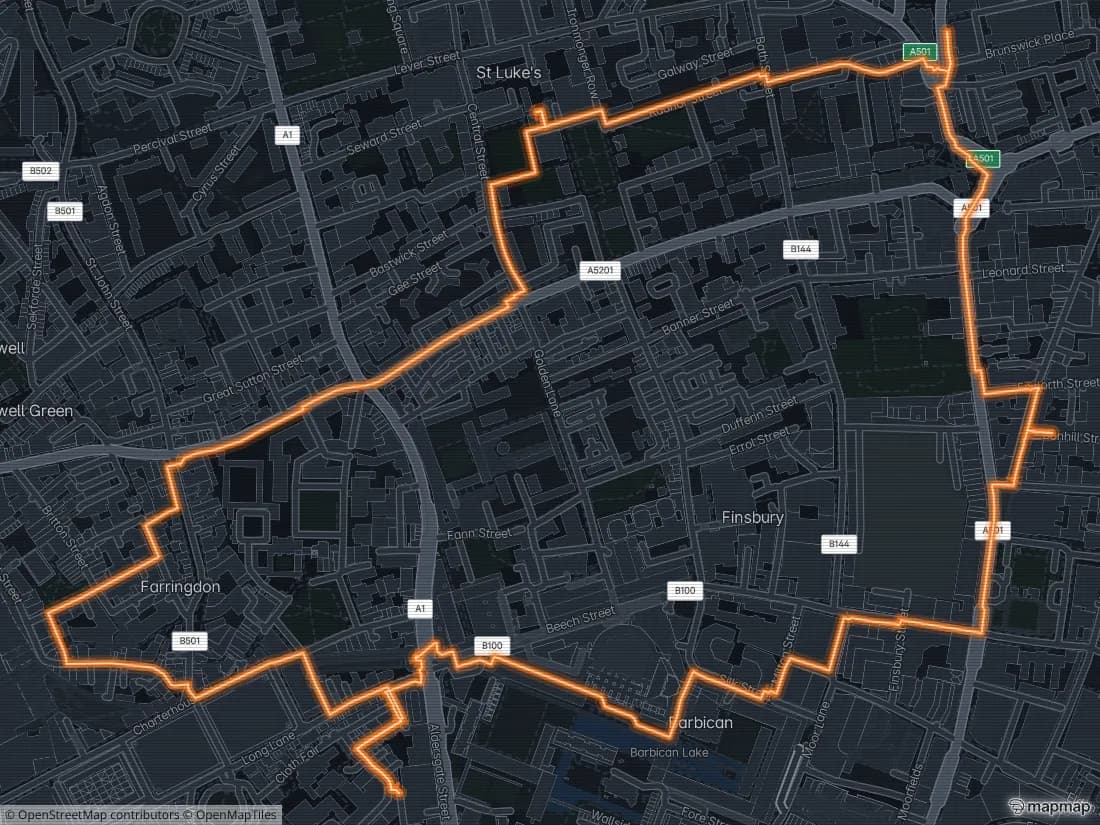
A route that returns to where it started does not just claim the streets on the way round. The ground it encloses turns your colour too.
- 5
Sign in to hold your ground
Claims made while signed out do not stick around. Sign in from the map to keep what you take, show up on your town's leaderboard, and get a public profile page other players can see (and try to take back from).
Once you have a street or two, read how claims, takeovers and fade actually work, or jump straight to the Ghost Route to plot a route instead of guessing one.